Why this place
Serra da Canastra
Serra da Canastra is a highland region of cliffs, waterfalls, wildlife, dirt roads and rural farms centred on the national park and towns such as São Roque de Minas and Vargem Bonita. The headwaters of the São Francisco and Canastra cheese give the landscape both ecological and culinary identity.
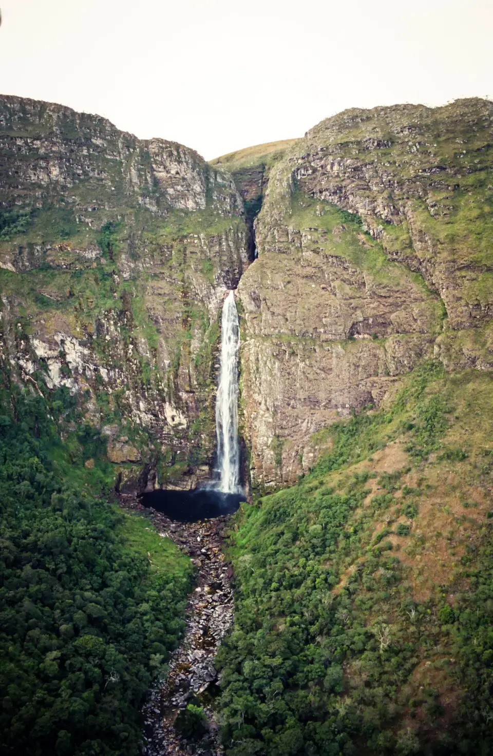
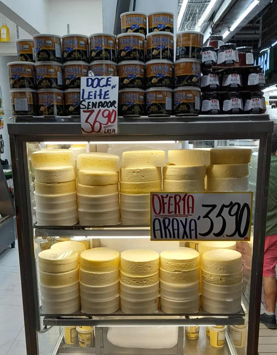
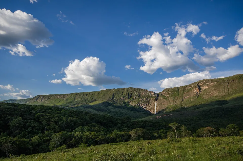
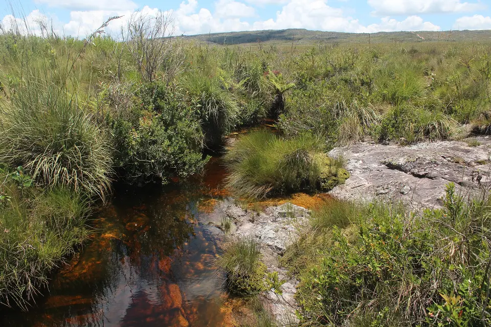
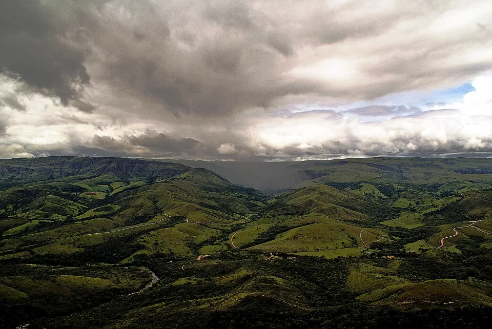
Serra da Canastra is not simply a waterfall stop. Its high Cerrado grasslands contain the headwaters of the São Francisco River, and the plateau gives way to the 186-metre Casca d’Anta fall. Around the national park, working farms continue the region’s famous Canastra cheese tradition. The best trip combines these landscapes rather than racing between photo stops, with São Roque de Minas, Vargem Bonita and São José do Barreiro serving different access routes. The upper part of the park and the lower waterfall entrance are far less interchangeable than they look on a map.
An important 2026 update changes how to plan the waterfall: ICMBio’s operational protocol issued in June temporarily closes the footpath connecting upper and lower Casca d’Anta because of geological and safety risks. The Poço Profundo area below the first upper waterfall is also closed to public visitation indefinitely under that protocol. Do not use older blogs describing the steep connector as an available hike. Choose the correct road and park gate for each side, review the park’s latest access instructions, and keep back from slippery rocks or prohibited pools. Standard park visitation generally runs 08:00–18:00 with entry until 16:00, but special arrangements and closures can differ by activity and gate.